GPS Tracking Solutions
Vehicle Theft Recovery & Anti-Theft
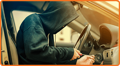
Whether it be your pride and joy or a business vehicle, Fleetminder tracking can be a vital tool in vehicle theft recovery. Recovery of stolen cars, motorcycles, vans, utes and even trailers and machinery.

Vehicle Theft and Recovery
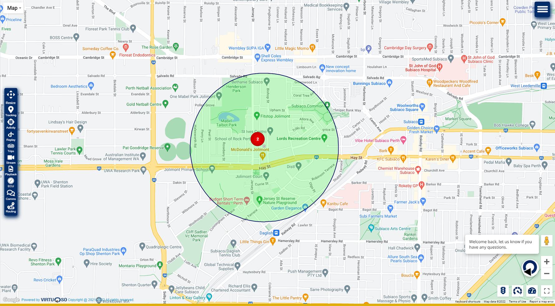
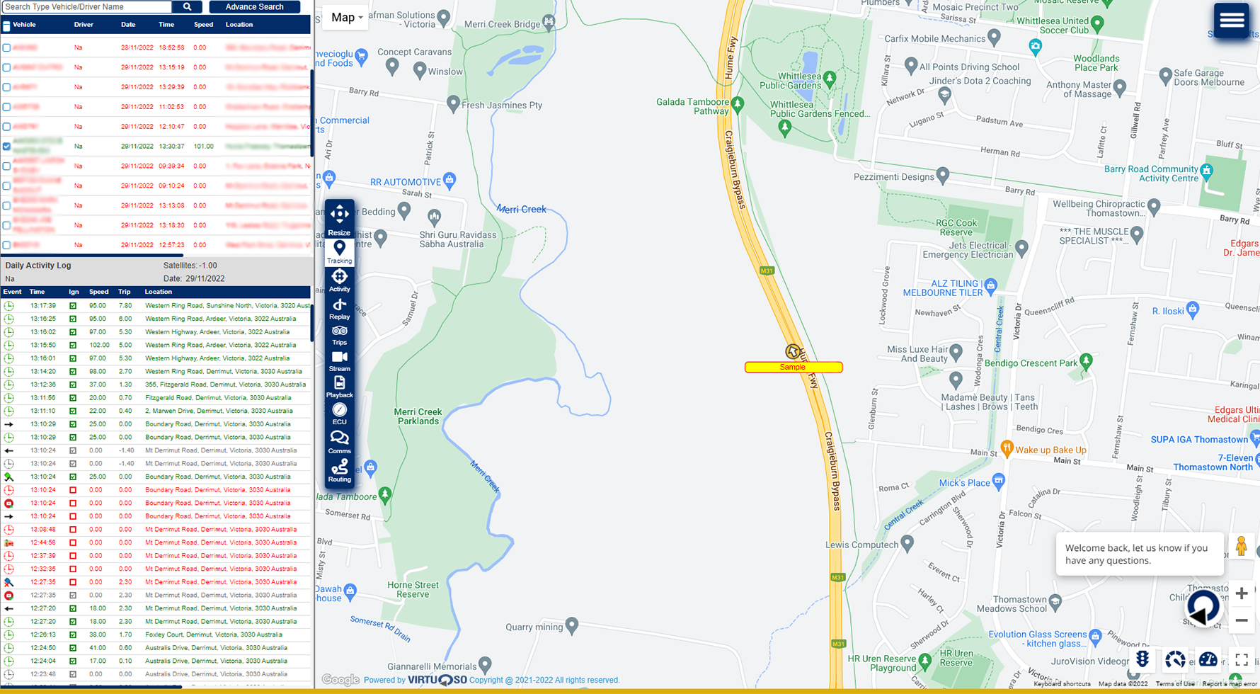
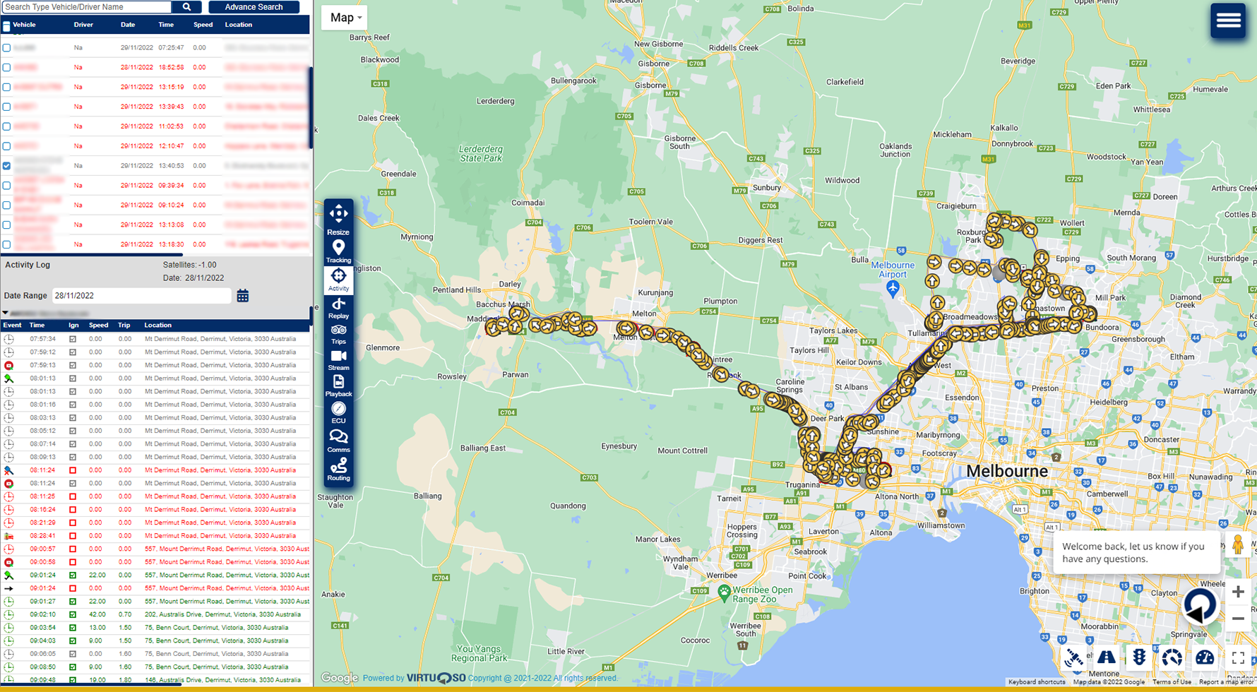
In Australia a car is stolen every 11 minutes. 77 per cent of those stolen cars are not for the vehicle’s value, but for joyriding or for use in another crime. Recovery of a stolen vehicle can take months and be very stressful for the victim. With GPS tracking, not only can you recovery a stolen vehicle much faster, but can even stop thieves from stealing the vehicle in the first place. If they do manage to steal your vehicle, be alerted by the Fleetminder GPS tracking system instantly so you can act fast and even share the live GPS tracking with police.

Related Products
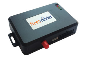 The FM Lite4G is a compact and discrete tracking module for 24/7 monitoring of cars,
vans and trucks using the 4G network. With optional features such the ability to remotely
disable the starter motor or activate an alarm remotely, the FM Lite4G offers real security
for your vehicle. Track via real time web based mapping (subscription required). The FM
Lite4G is ideal for personal or business use in the metro and regional areas. Read more…
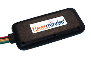 The Fleetminder MT4G is a compact and discrete GPS tracking module for 24/7 monitoring
of your motorcycle using the 4G network. When paired to the Fleetminder tracking platform,
24/7 security is provided via real time tamper and Geo-fence alerts if the motorcycle is
moved from a set location. The device draws less than 2mA of power when parked and
wakes up on movement or ignition key events in as little as 3 seconds. When the key is on,
the location and speed is reported every 60 seconds or at each corner, whichever comes
first and a history is kept online for 6 months to aid with recovery if stolen. Read more…
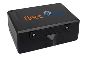 The FM TT4GLite is a high performance and reliable 4G/GPS Trailer and Asset Tracking device which has been designed for trailers or asset GPS location and theft recovery. The
FM TT4GLite can be configured to report location daily while still providing battery life of up to 5 years. Built in rechargeable battery is charged via USB. Read more…